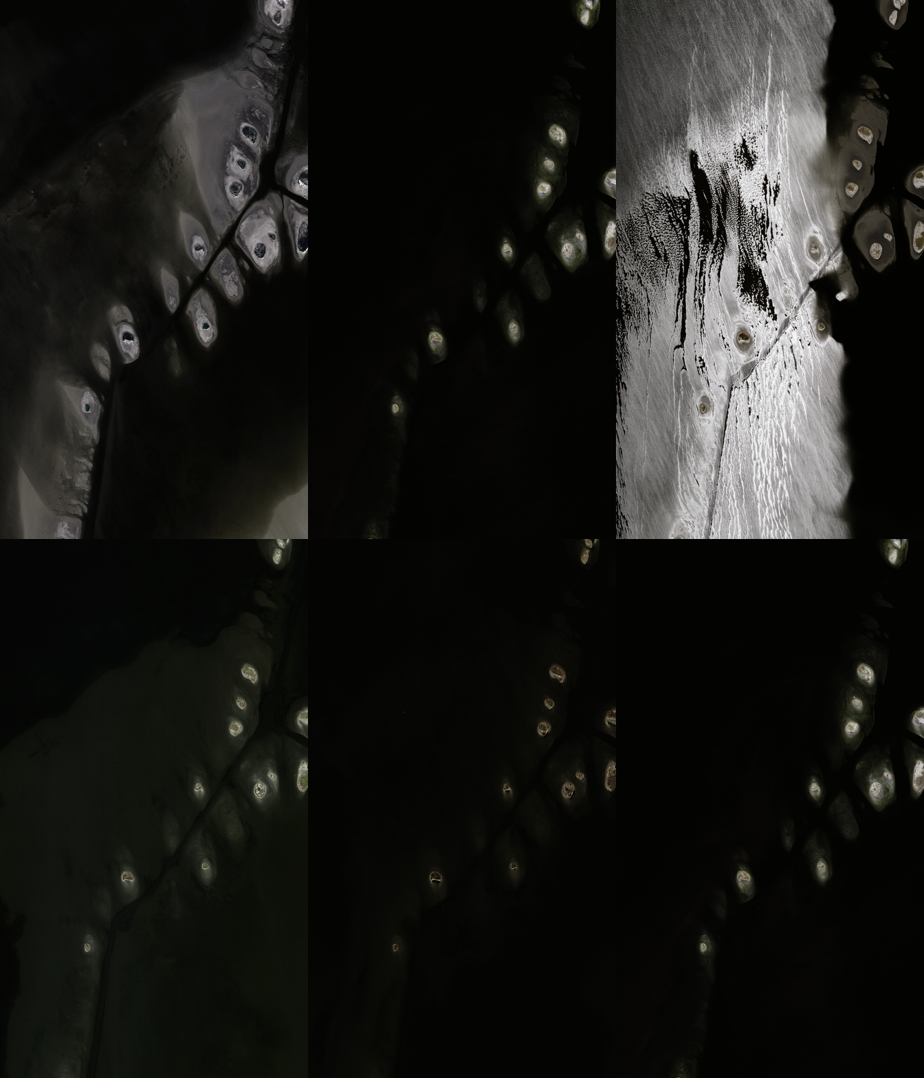
Gulf Coast
There are eight sites and 48 sub-sites:
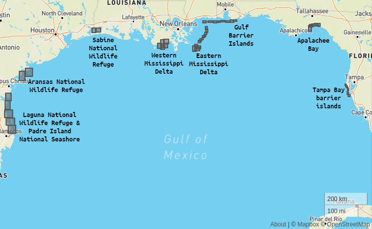
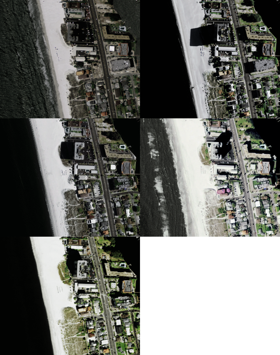
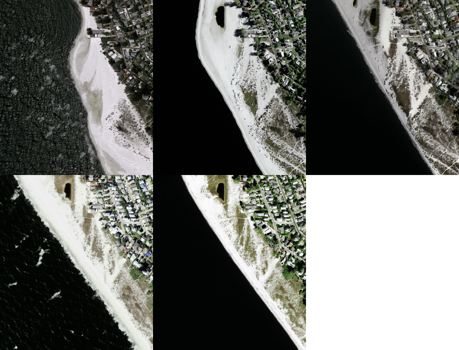
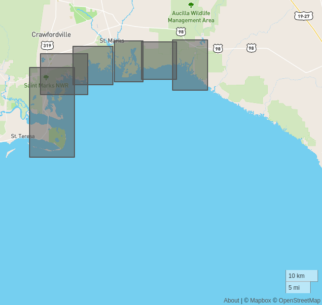
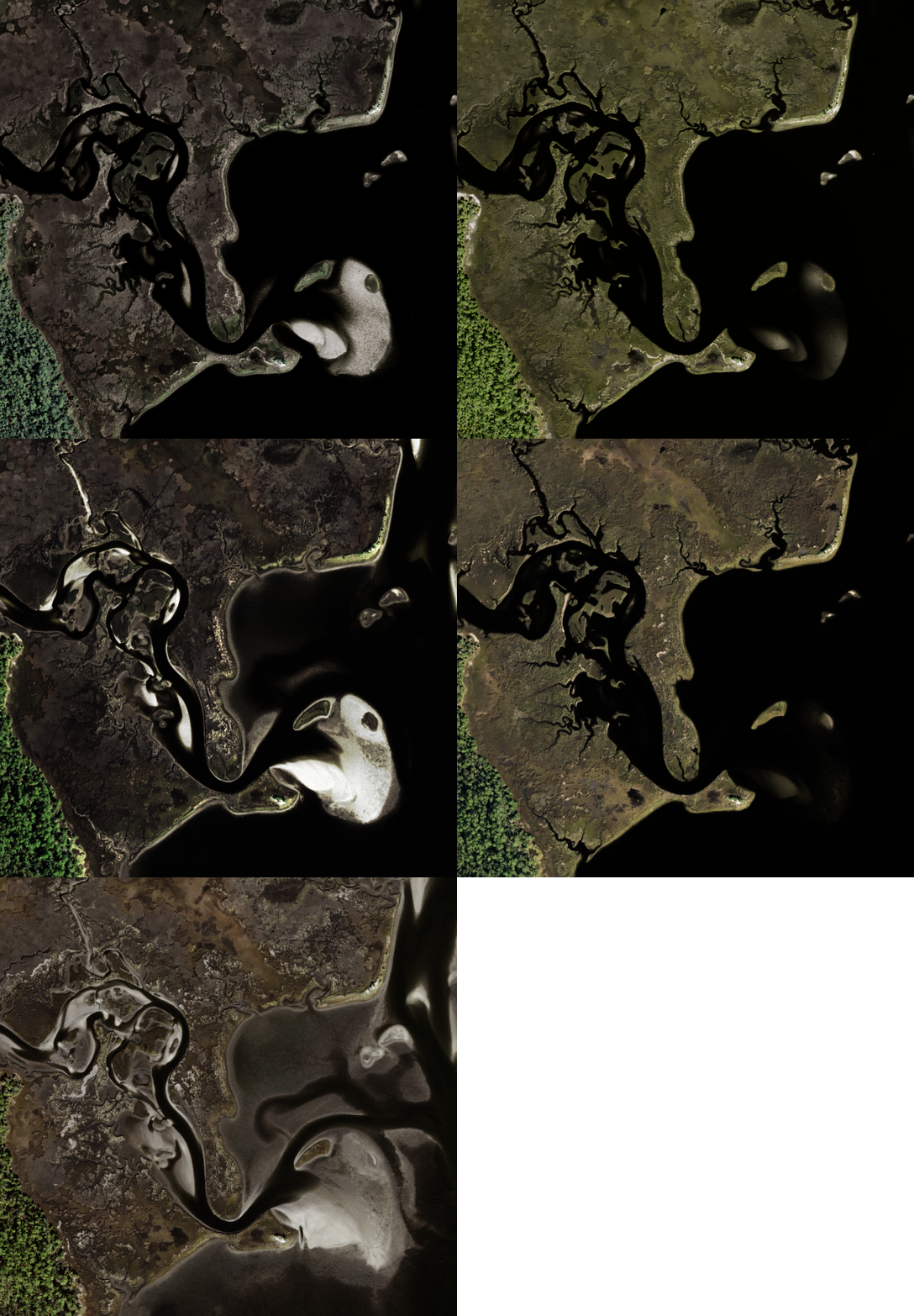
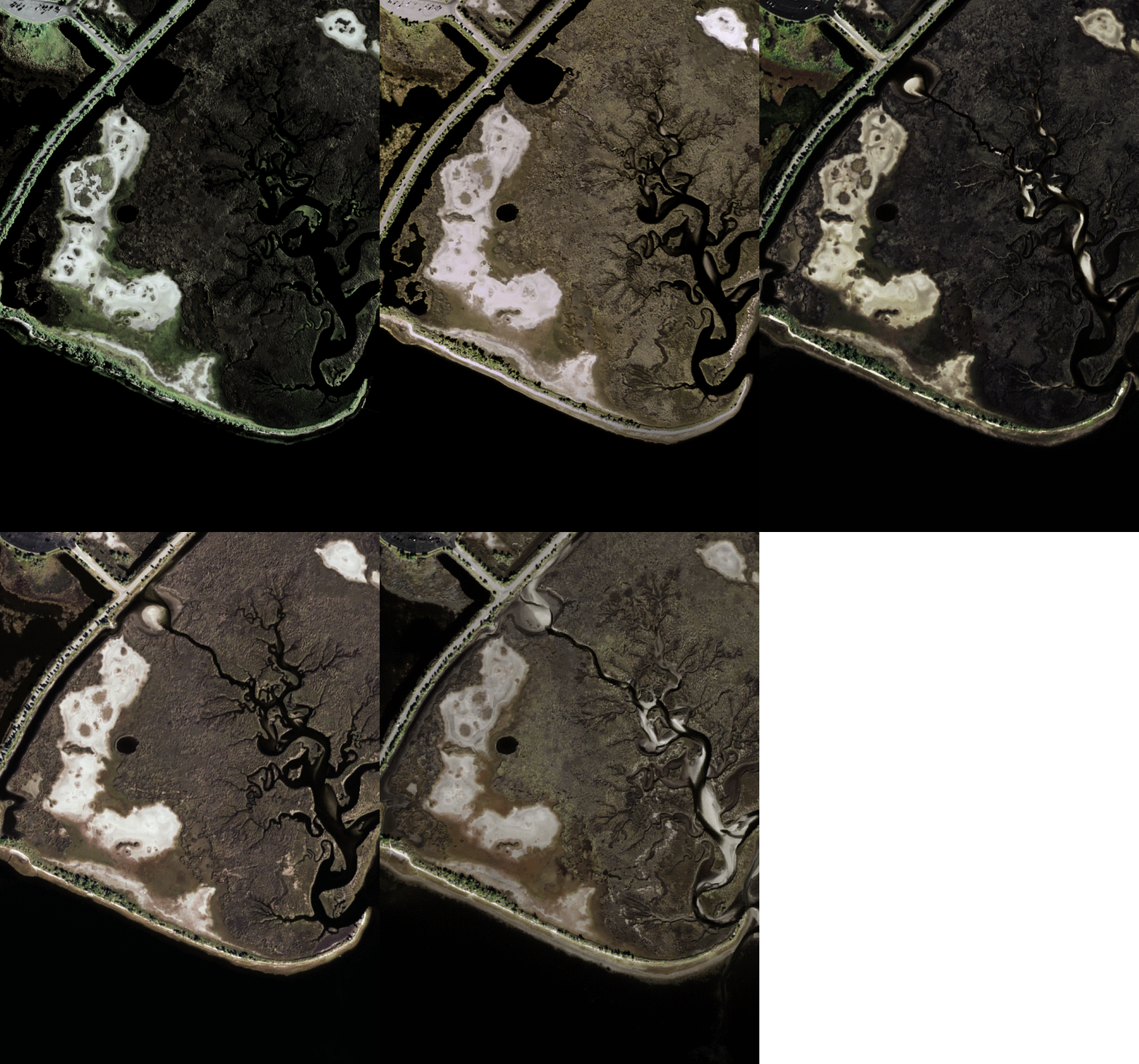
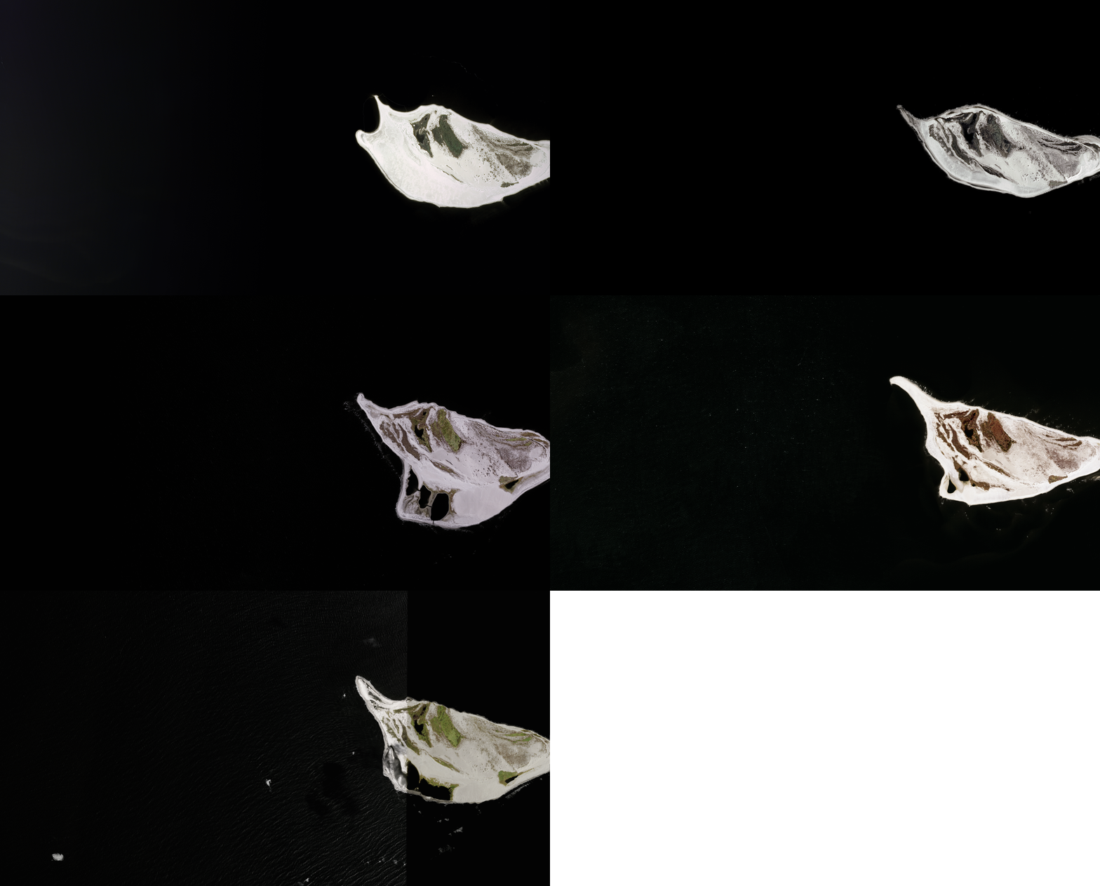
Note that all imagery here originates from the National Agriculture Imagery Program or NAIP. These 1-m pixel size scenes have been collected between Jan 1 2010 and Dec 31 2020 and are for illustration purposes only, although they do constitute a subset of the full Coast Train dataset (forthcoming).
1. Tampa Bay
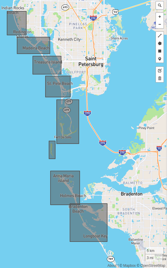
Example 1: -82.728424072, 27.638028088
Example 2: -82.683517456, 27.432233336
2. Apalachee Bay
Example 1: -84.352478027, 30.070508324
Example 2: -84.270080566, 30.091899646
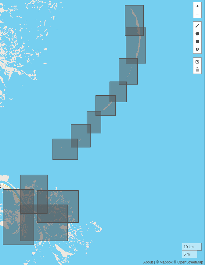
3. Gulf Barrier Islands
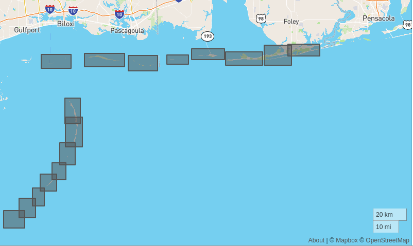
Example 1: -89.100219726, 29.534025189
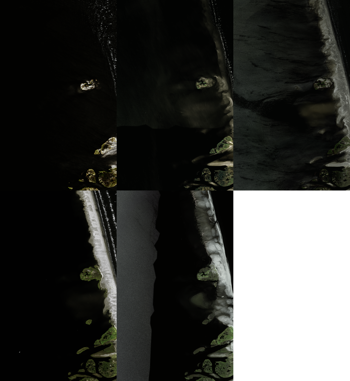
Example 2: -88.987884521, 29.652725587

Example 3: -88.953002929, 30.216587667
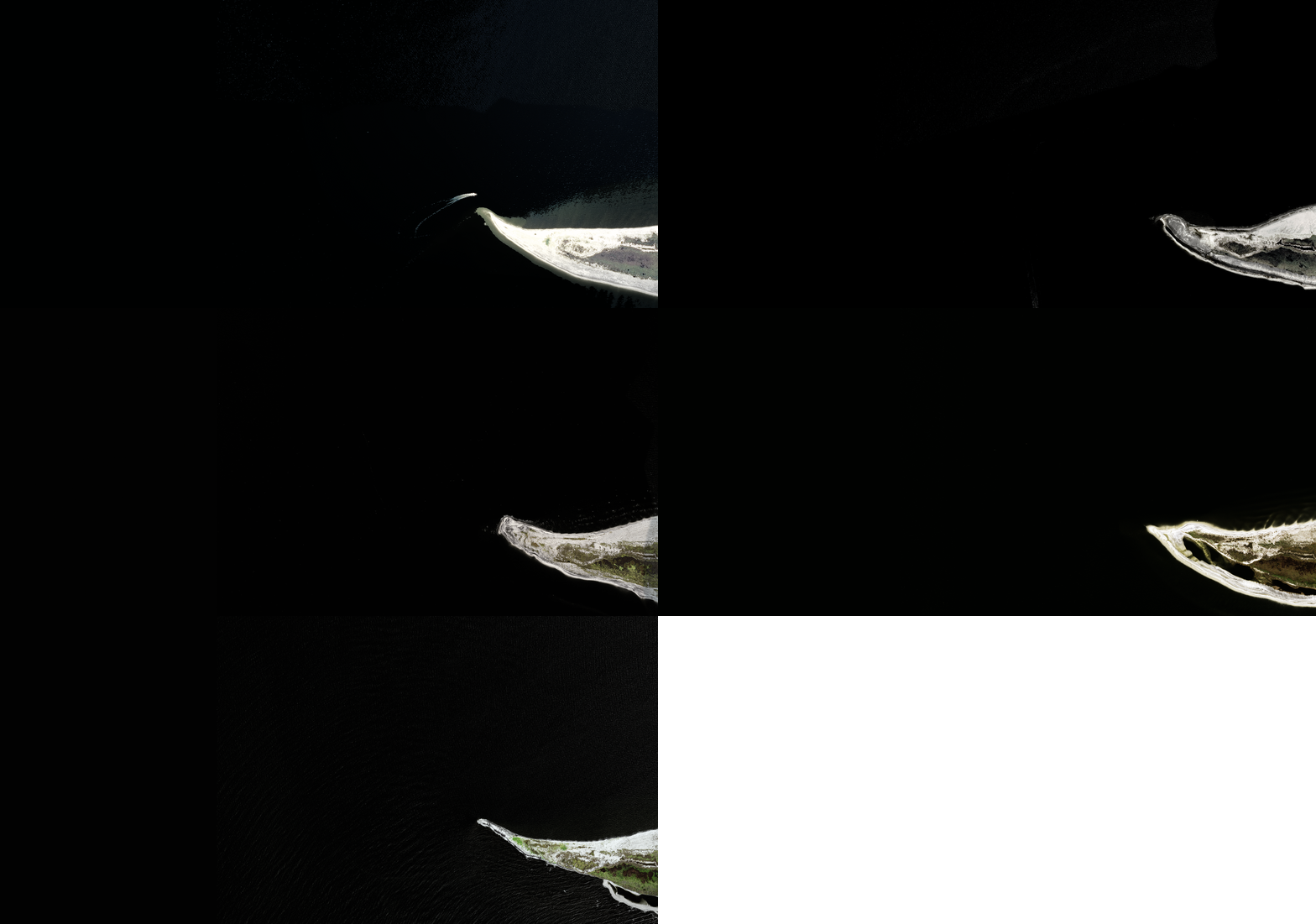
4. Eastern Mississippi Islands
Example 1: -89.278884887, 29.187392060
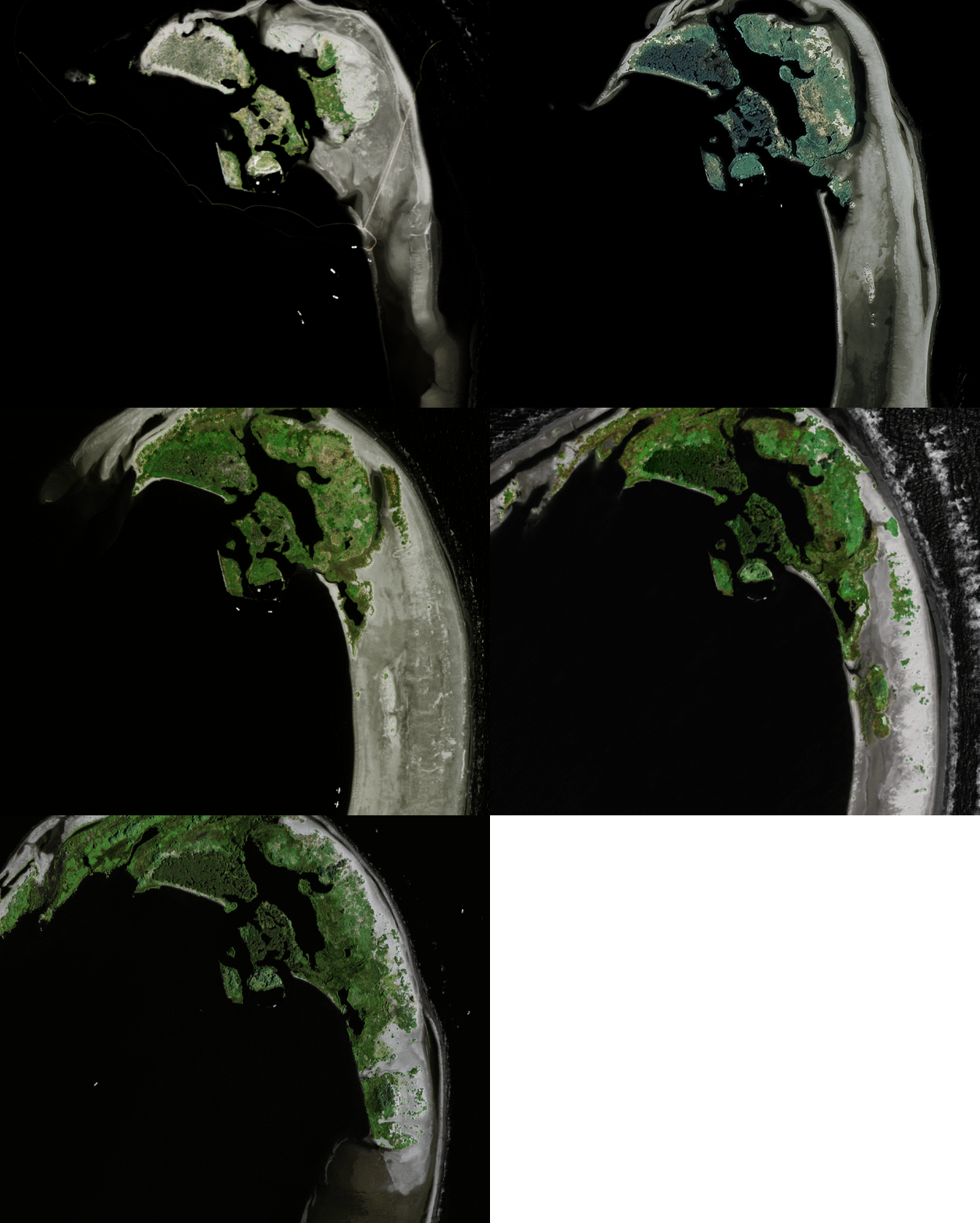
Example 2: -88.490753173, 30.207329400
5. Western Mississippi Delta
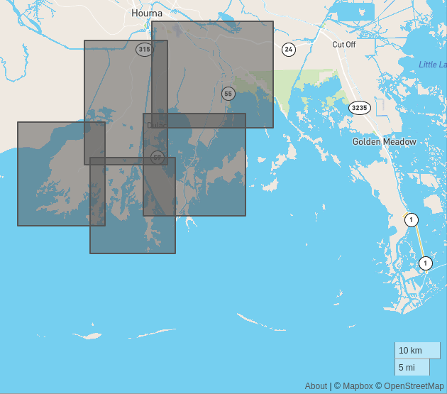
Example 1: -90.647369384, 29.323008926
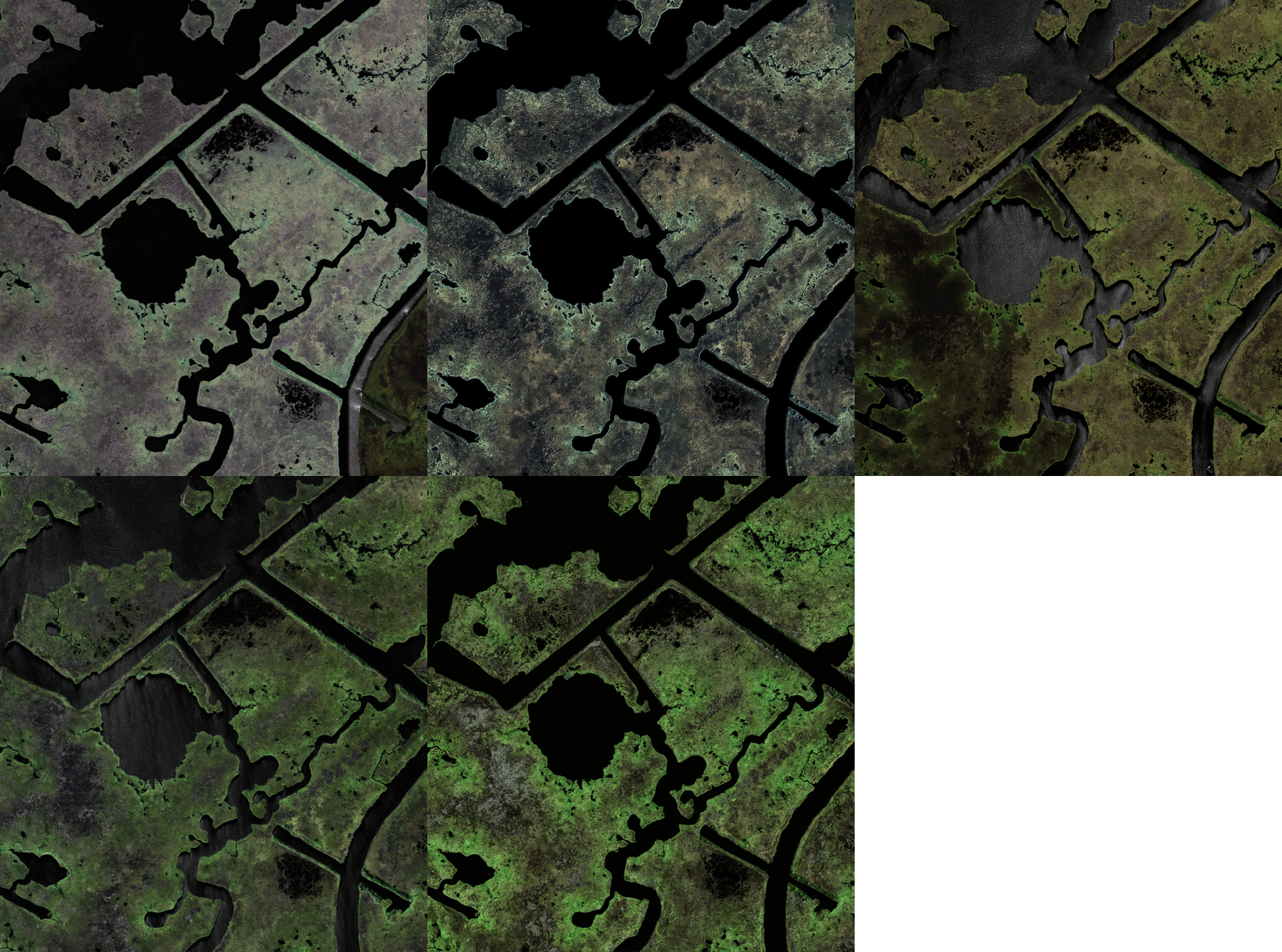
Example 2: -90.776184082, 29.423997069
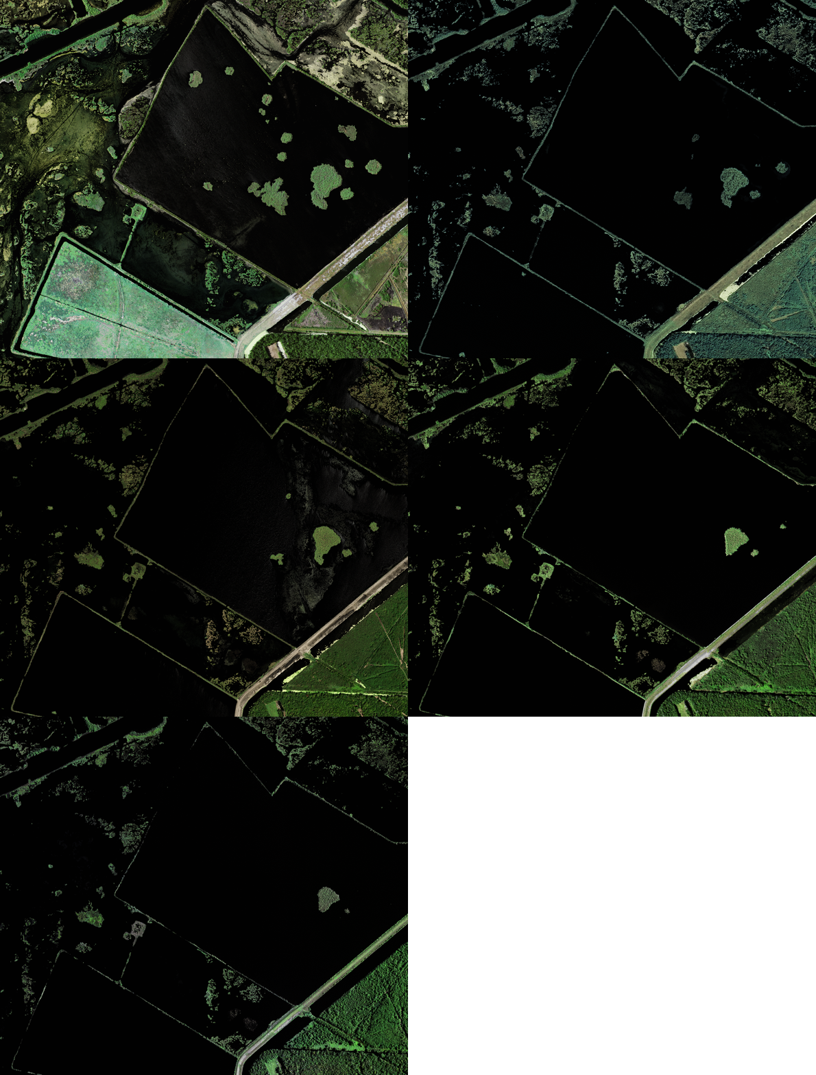
Example 3: -90.901977539, 29.307201920
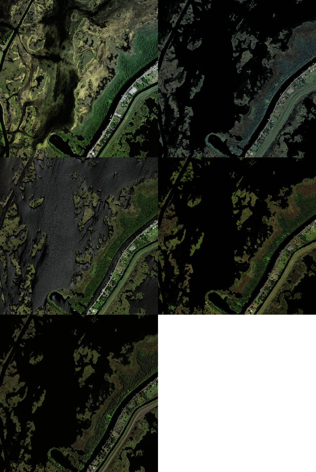
6. Sabine National Wildlife Refuge
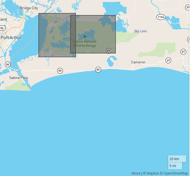
Example 1: -93.561767578, 29.897061994
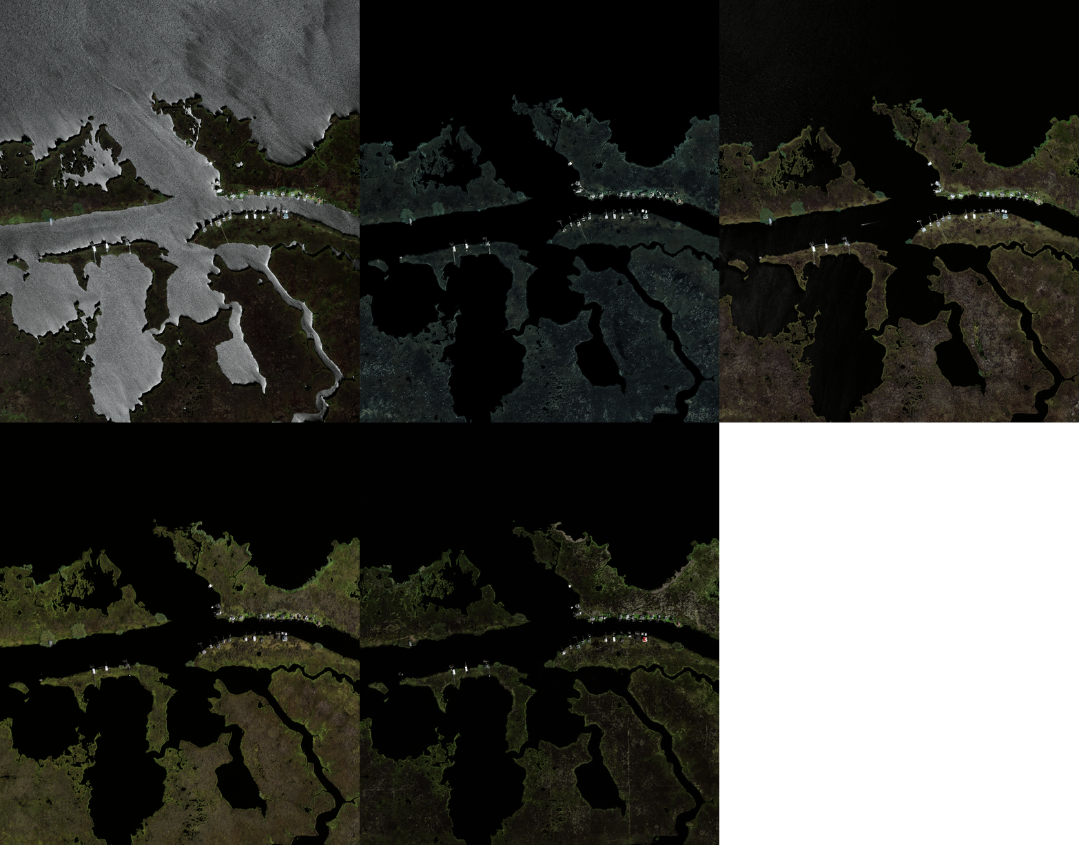
Example 2: -93.728210449, 29.891099510
7. Aransas and 8. Laguna National Wildlife Refuges, and Padre Island National Seashore
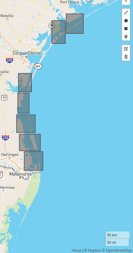
Example 1: -97.4476318359, 27.361917636
Example 2: -97.441040039, 26.707255888
